Comparison / Updated August 2026
Best offroad navigation app in the UAE?
The honest Reddit answer.
Navra wins when the job is bigger than a map. OsmAnd, Wikiloc and Gaia still win some specialist jobs. Here is the exact line—with the beta limitations left visible.
The direct answer
One operating system.
One offline backup.
Choose Navra if you want the route, crew, vehicle, recovery and training connected around a UAE drive. During beta, pair it with a downloaded OsmAnd, Wikiloc or Gaia map. Redundancy is more useful than pretending one app has no gaps.
Head-to-head
Where Navra wins.
Where it does not—yet.
The useful comparison is not a feature-count contest. It is whether the product handles the complete job you are trying to do in the UAE.
The alternatives
Use the right tool.
Not the loudest claim.
OsmAnd
Choose it for worldwide offline maps, detailed configuration and GPX control. It is powerful, but a convoy may need more setup and separate coordination tools.
Official source ↗Wikiloc
Choose it to discover, save and follow community-shared trails offline. Check the source and age of every track; a community upload is not a safety guarantee.
Official source ↗Gaia GPS
Choose it for mature downloadable maps, route recording and layered outdoor planning. Add other tools for UAE club, vehicle and recovery workflows.
Official source ↗onX Offroad
Choose it in its detailed North American coverage areas. onX says the rich land, trail and recreation layers are not currently available in the UAE.
Official source ↗Fit check
Should you
choose Navra?
Yes, if
- You run or join UAE desert trips and convoys.
- Your plan is scattered across maps, WhatsApp, Notes and spreadsheets.
- You want the vehicle, club, recovery and training attached to the drive.
- You use Android and are comfortable helping shape a beta.
Not yet, if
- You need iPhone support today.
- Your only requirement is a mature offline topographic map.
- You need detailed US or Canadian land-ownership data.
- You want a finished product and do not want beta changes.
What Reddit gets right
The map is not
the safety plan.
UAE community threads repeatedly return to the basics: do not treat software as experience, be clear about driver level, carry recovery equipment and avoid going alone. Navra is built to support a prepared crew—not to make an unsafe drive look organised.
Read the UAE community discussion ↗Direct answers
Comparison FAQ
Is Ventrax Navra the best offroad navigation app in the UAE?
Navra is the strongest all-in-one fit for UAE drivers who want trip planning, field GPS, convoy and club organisation, vehicle records, recovery and training together. It is not yet the strongest standalone choice for mature downloadable map layers or iPhone users.
What is the honest Reddit answer: Navra, OsmAnd, Wikiloc or Gaia GPS?
Use Navra when the whole drive workflow matters. Use OsmAnd for offline control and deep configuration, Wikiloc for community-shared tracks, or Gaia GPS for established layered map planning. During Navra’s beta, pairing it with a downloaded offline map is the most resilient setup.
Does Navra work without mobile data?
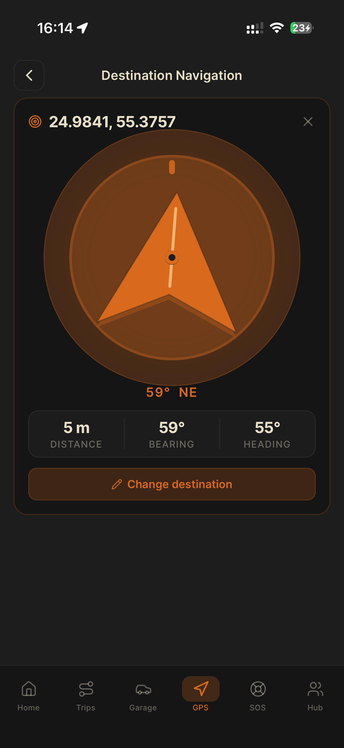
Navra’s GPS, compass, coordinates and saved trip data are designed for low-signal use and do not depend on an active data connection. Full offline terrain and route packs are still on the roadmap.
Is Navra available on iPhone?
Not publicly yet. Navra is live in beta on Google Play for Android, while iOS is on the roadmap. iPhone users should use an established iOS mapping app and contact the Navra team for launch updates.
Can Navra replace every off-road app?
Not for every driver today. Navra is designed to replace the fragmented trip, crew, garage, recovery and training workflow. A specialist downloaded map remains a sensible backup until Navra’s full offline terrain packs are released.
UAE beta / Android
Test it on
your next drive.
A comparison page can narrow the choice. The field makes the decision.