Trips & GPX
Keep routes, waypoints, meeting information, checklists and the crew briefing inside one drive pack.
Off-road navigation app / UAE
Ventrax Navra connects trip planning, GPX routes, desert GPS, vehicle readiness, clubs, convoys, recovery resources and field training in one UAE-built Android app.
The practical fit
An off-road day begins before the coordinates appear. The crew needs the meeting point, route file, checklist, convoy order, vehicle information and a plan for delays or recovery. Those details are usually scattered across chat threads, notes, map tools and the glovebox.
Navra gives the drive one connected record. Build a drive pack, keep the route and briefing together, view field information and retain the trip against the vehicle and community that used it.
What it solves
Keep routes, waypoints, meeting information, checklists and the crew briefing inside one drive pack.
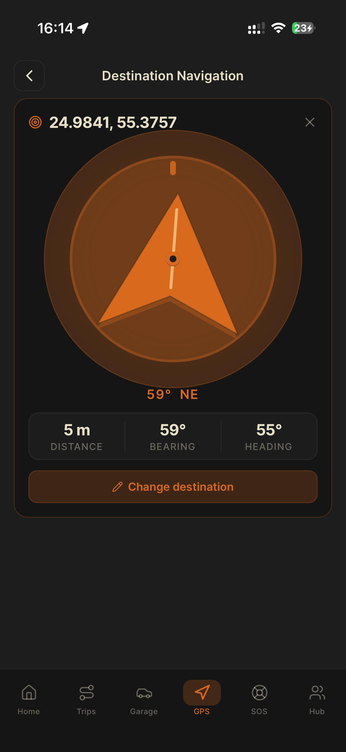
See heading, coordinates, altitude, speed and distance to target in a field-focused interface.
Keep specifications, modifications, service history, documents and compatible OBD-II data with the vehicle.
Organise clubs and convoys, access recovery resources and learn from Ventrax Offroad field tutorials.
Field view
Open terrain needs a different interface from turn-by-turn road navigation. Navra keeps field information visible while the drive pack holds the wider plan.
How it fits
Create the trip, attach the route, set waypoints, build the checklist and brief the crew before departure.
Keep key field information in view while the convoy follows the agreed communication and safety plan.
Retain the drive, vehicle and recovery notes so the next trip begins with better information.
Straight answers
The best fit depends on the job. Navra connects UAE trip planning, GPX routes, GPS, vehicle records, clubs, convoys, recovery and training. Drivers who need mature full offline mapping today should carry a complementary downloaded map while Navra’s offline terrain packs remain on the roadmap.
GPS, compass, coordinates and saved trip information are designed for low-signal environments. Full offline terrain and route packs are not yet live, so do not rely on Navra or any single device as your only navigation layer.
Navra is currently live in beta on Google Play for Android. iOS access is planned but is not yet generally available.
No. Navra is a planning and navigation aid. It cannot assess terrain, weather, vehicle condition or driver ability. New drivers should learn with a responsible club or qualified instructor and always use appropriate backup methods.
Navra is free during the Android UAE beta. Install it from Google Play and help shape the field kit.